Our reputation for quality of service and project success has been established over a period of more than 40 years.
We recognise that Environmental Management Plans are an important means of ensuring that environmental commitments identified through the project planning stages are implemented.
Biodiversity Net Gain legislation now requires ecological gains to be legally secured for a minimum of 30 years, supported by a Habitat Management and Monitoring Plan (HMMP).
Other Management Plans may be required by a planning condition or as a condition of a protected species licence.
Environmental Management Plans can also support, and form part of, project funding applications for biodiversity and landscape conservation and legal agreements with local authorities or other parties.
Our team has considerable experience in the preparation of a range of Environmental Management Plans.
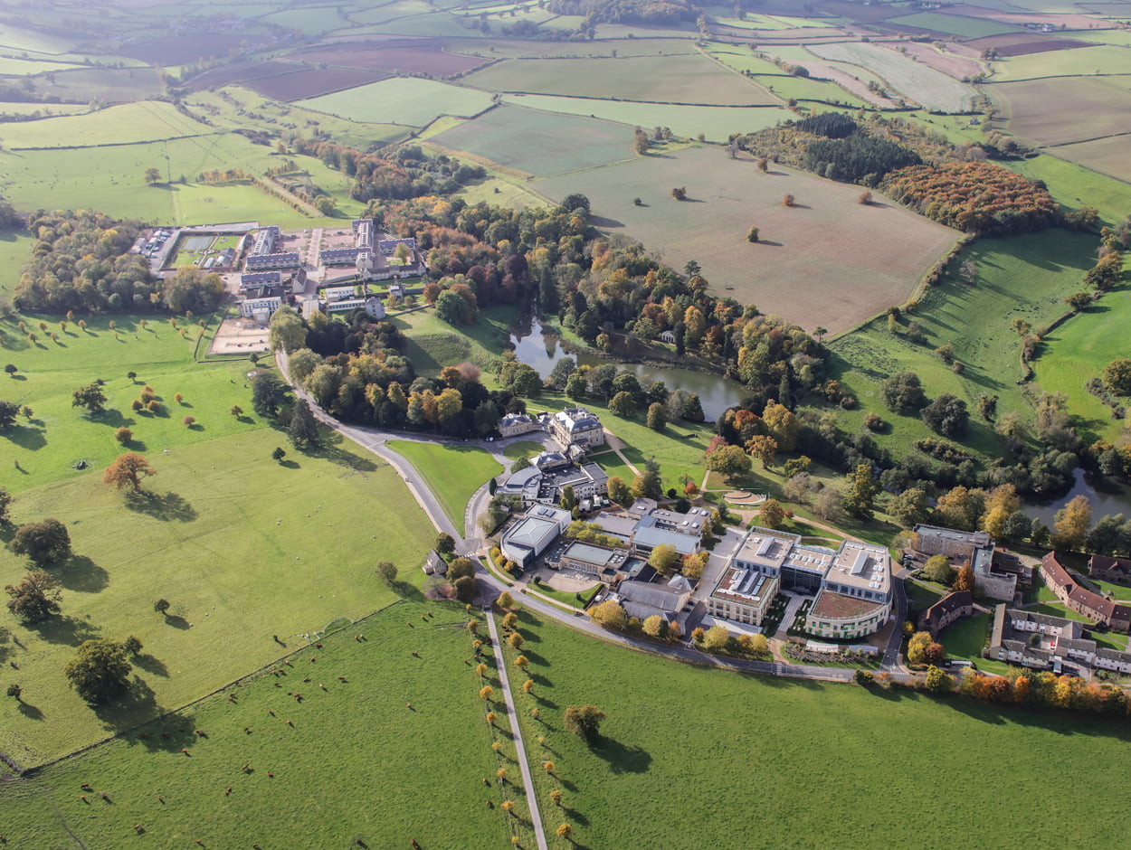
We have prepared Environmental Management Plans for projects in a broad range of sectors and locations and for projects of all scales.
We work with site managers and contractors to deliver pragmatic solutions.


Associate Director

Director

Associate Director

Managing Director
We can use our skills and experience to provide you with an Environmental Management Plan to meet a range of requirements, including:
Ecological mitigation measures often need to be implemented as a condition of planning consents and these can be secured through Environmental Management Plans. Our team can assist you with the preparation, negotiation and implementation of Ecological Management Plans, and other plans that may be required.
Local authorities can use many different terms to describe such plans, e.g. a Habitat Management Plan, Wildlife Management Plan, Wildlife Protection Plan or Wildlife Protection and Enhancement Scheme. We can assist with all of these.
Contact usOur experienced landscape architects can support you through the process of drafting, negotiating and implementing Landscape Management Plans.
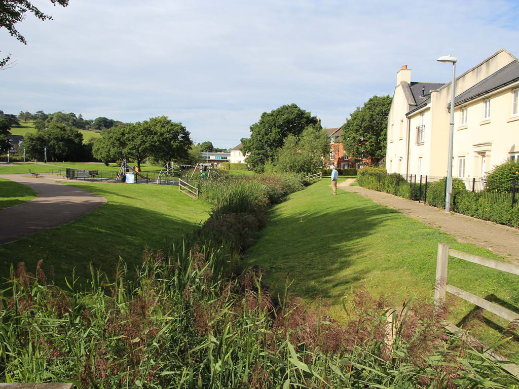
The preparation of Landscape Management Plans is a key requirement for getting public open spaces adopted by local planning authorities. The content of these management plans includes landscape protection during the construction phase, landscape establishment maintenance during the operational phase and longer-term landscape management.
Contact usWe have experience of contributing to an reviewign Construction Environmental Management Plans (CEMP) for a range of development types and scales. An outline CEMP is often now required as part of an Environmental Statement, with more detailed plans required to discharge planning conditions.
Contact us

The Town and Country Planning (Environmental Impact Assessment) Regulations 2017 introduced...

The new iconic footbridge at Tintagel Castle has now been completed, together with key footpath and...

Construction works within Waterloo Gardens and Railway Gardens, as part of the Roath Flood Scheme...
To talk to our team about how we can assist you with your Environmental Management Plan, please call 01225 876990 or complete the contact form.
Contact us

